

The Municipality of Aristotelis area offers 6 walking routes, each depicted on a map section, with unique characteristics and historical significance.
1. At the borders of Mount Athos. A 5 km route from the beach of Komitsa to the Monastery of Zygou and the land borders of Mount Athos.
2. The Byzantine walk. A 3 km route from Ouranoupoli to the Monastery of Zygou and the land borders of Mount Athos.
3. Xerxes’ walk. A 5.5 km route from Nea Roda to the port of Tripiti and from the settlement of Ammouliani to Megali Ammos.
4. The Aristotelian walk. An environmental route of 17 km from the Aristotle’s Grove to the ancient Stagira.
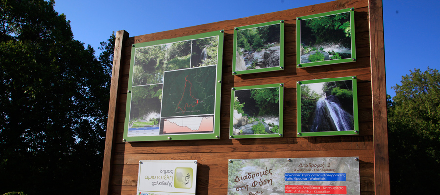
5. The mountain walk. A 17 km route from the traditional settlement of Arnaia to the Waterfalls of Varvara.
6. In the Mademochoria. A 5.5 km route from Arnaia to the Neposi Castle-Palaiochori.
Info
Currently, many routes are being planned and marked in the broader area of the waterfalls of Varvara.