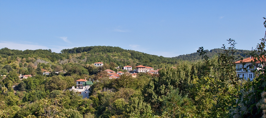
A forest with an area exceeding 90,000 acres seems to enclose this lucky village in its green, vast embrace. Its name is Varvara and it owes it to the patron saint Agia Varvara in whose honor the central church was built in 1875, or – according to local legend – to an old queen of the area.
Treading at 550 m. altitude, between the Drevenikos and Sougliani hills, the settlement has lively neighborhoods with narrow cobblestone streets, abundant water, and fountains. It offers excellent views beyond the Strymonikos and Volvi. This place seems to have been inhabited since the 14th century AD.
The first evidence was found in a document of the hierodike of Sidirokausia, while a Turkish firman of 1762 included the village of Varvara in the federation of Mandemochori. In 1821, following the common fate of the villages of Chalkidiki, it was burned by the Turks. It actively participated in the Macedonian Struggle led by the Barbarian chieftain Athanasios Minopoulos.
Today Varvara has more than 800 residents, who are engaged in livestock farming and logging. The local women’s cooperative produces delicious spoon sweets and trahana.
The village celebrates on December 4th on the feast of Agia Varvara, amidst the incomparable mountainous winter landscape. A large festival is held on the day of Saint George (second day of Easter) and lasts 3 days.
Info
Varvara is 20 kilometers from Arnaia, to the northeast. It has become famous in the area for its two waterfalls located in the village forest, towards Olympiada.
THE ARTICLE


